
visIvis®
Vision-based Visibility Measurement
Automated representation of complete visible range
Facts

Your Benefits
- Use all suitable cameras for getting a complete representation of visibility at your location
- Frequently updated information about visibility
- Plausibility check of local visibility sensors
- Less stress for operators in critical situations
Capabilities
- Works with off-the-shelf cameras
- Measurement of visibility and distance
- Can deal with various weather and daylight situations
Integration
- Customized solution for your specific airport requirements
- Can be integrated into existing surveillance systems
- Customized and standard reporting (e.g. METAR)
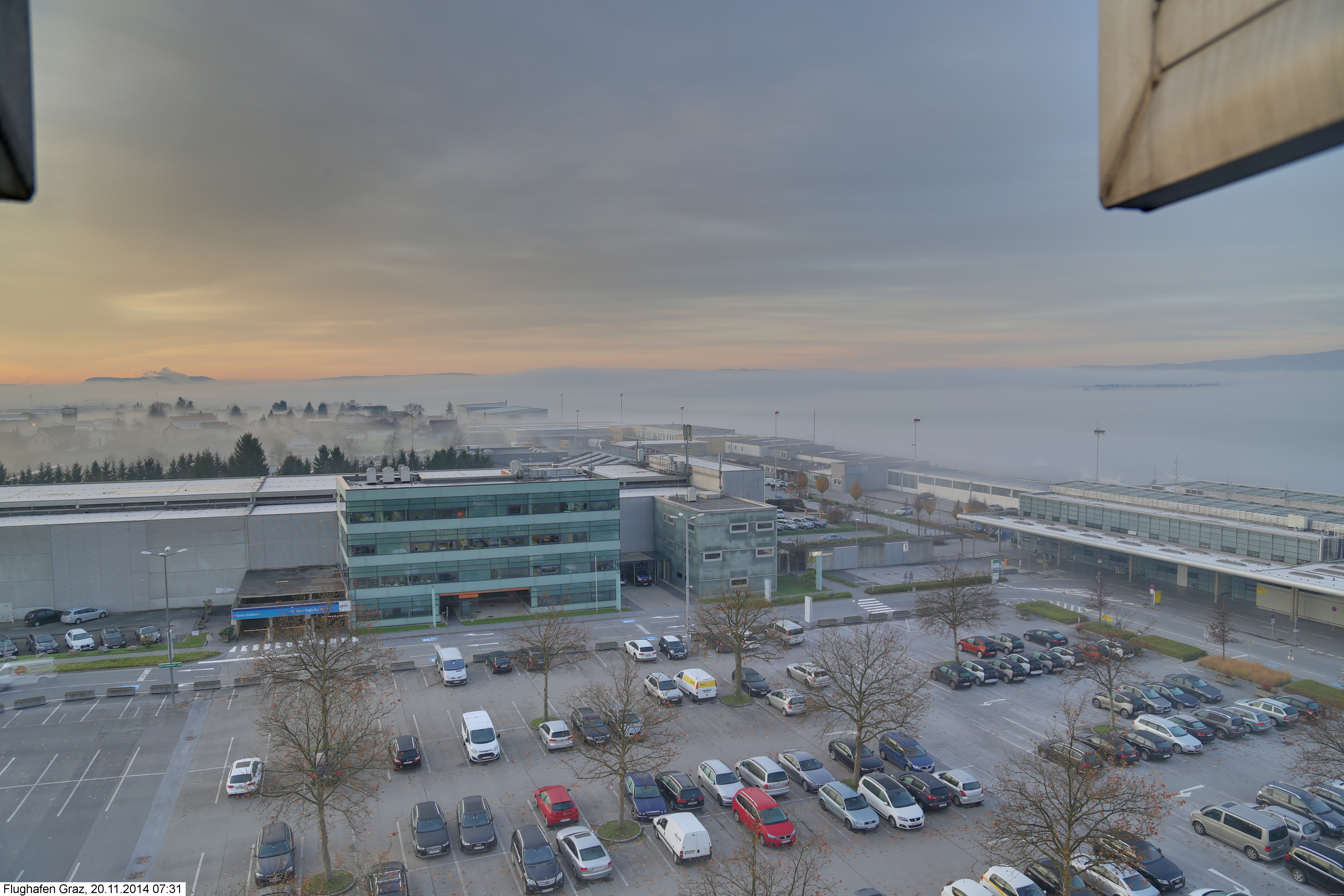
Credit: JOANNEUM RESEARCH
Air Traffic Management
- Plausibility Checks
- Ground Fog Detection
- Approach Monitoring

Credit: iStock/Patrick Herrera
Critical Infrastructure
- Road visibility for traffic control systems
- Industrial monitoring
- Monitoring of large harbours for port piloting
Demonstrator visIvis®
Demonstrator allows you to explore the possibilities of the visIvis® software.